
MITRIUS Group — Drone Photogrammetry, LiDAR Scanning & Elite Security Services
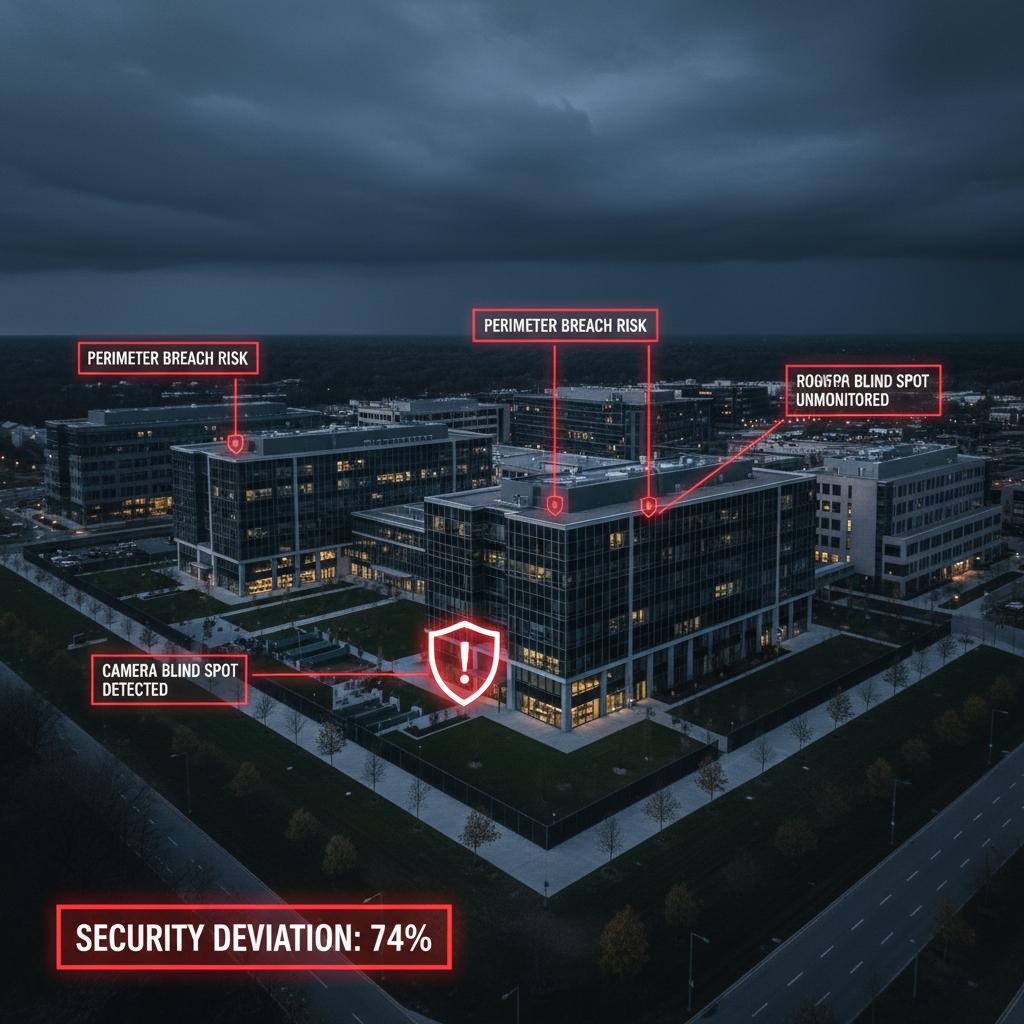
Security Assessment · Digital Double Technology
See every vulnerability before your adversaries do.
MITRIUS Group uses drone photogrammetry and LiDAR scanning to build a precise Digital Double of your property. Walk your facility virtually, see where vulnerabilities exist, and receive targeted recommendations — before a threat actor finds them first.
Our Services
Aerial Imaging
Our UAS operators fly systematic coverage patterns over your entire property — rooftops, perimeters, grounds, and adjacent terrain — capturing the photogrammetric imagery and LiDAR point-cloud data needed to build a complete, accurate Digital Double.

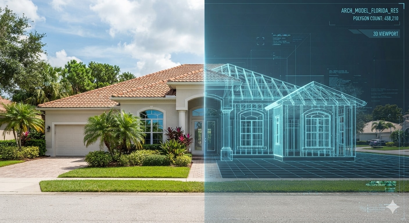
Digital Double Construction
We process the captured data into a centimeter-accurate 3D model of your entire property — every structure, surface, access point, and perimeter represented exactly as it exists in the real world. Fully navigable. Virtually walkable.
Vulnerability Assessment & Reporting
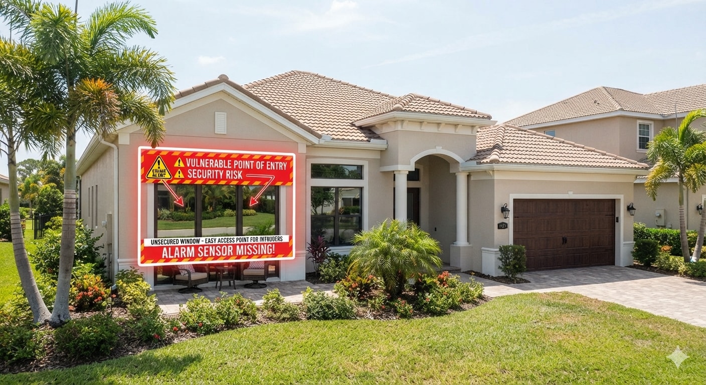
Our analysts walk the Digital Double and identify vulnerabilities across every zone. Where a weakness exists, a corresponding marker appears directly on the 3D model — describing the specific risk and providing a targeted recommendation for improving your security posture.
Why It Matters
Find it first.
Fix it before it costs you.
A vulnerability discovered by an adversary is always more expensive than one found by your own assessment. MITRIUS Group gives security directors, facility managers, and risk officers a complete, three-dimensional picture of their exposure — not a flat report, but an interactive environment where every weakness is visible, labeled, and paired with a concrete path to remediation.
Request a Security Assessment